

News
As flooding gets more frequent in central Appalachia, streamgages could offer advance warning
By: Erin Gottsacker | The Ohio Newsroom
Posted on:
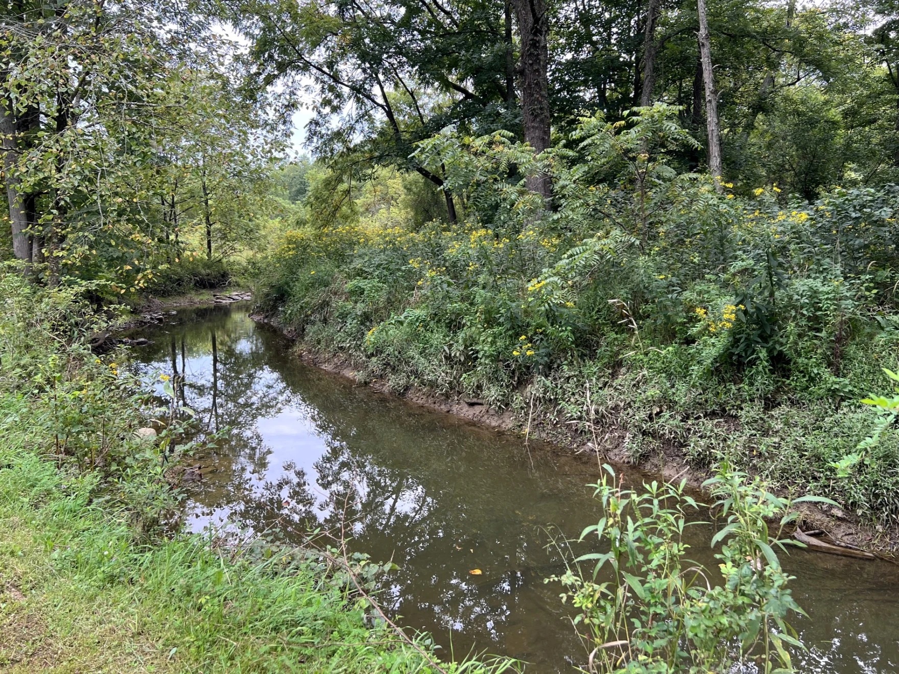
HARRISON COUNTY, Ohio (The Ohio Newsroom) — A small stream in eastern Ohio’s Harrison County looks shallow and slow, as it winds past banks of yellow flowers and humming summer bugs.
But Natalie Kruse Daniels, a professor and director of the environmental studies program at Ohio University, says the peaceful scene can be deceiving.
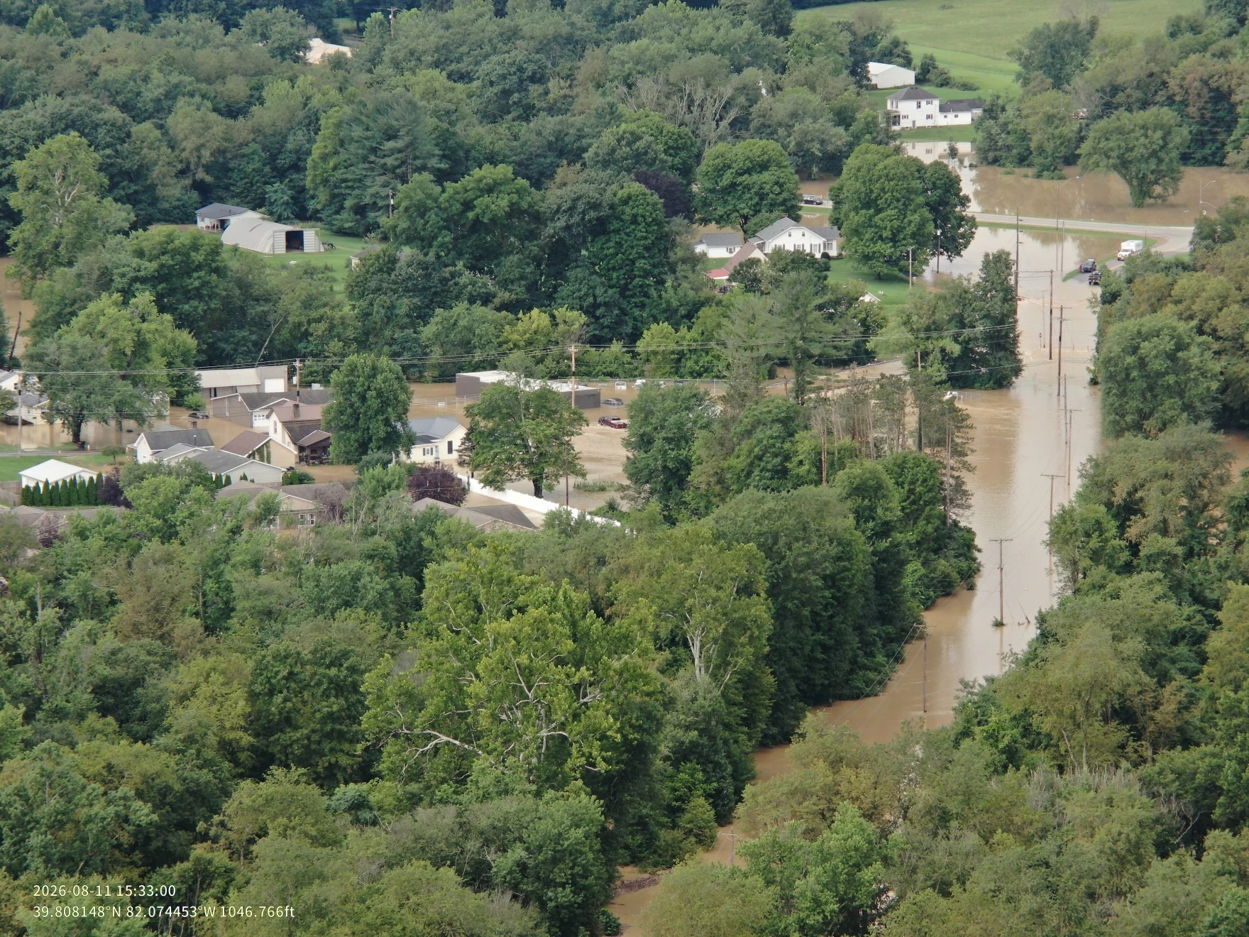
“Little streams can flash flood really, really quickly,” she said. She recently visited another one in Athens. “It’s maybe ankle deep right now, but it flooded the road and multiple businesses on August 11th.”
Similar scenes played out across the state last month: Floodwaters submerged basements and highways, as severe storms caused major damage to hundreds of properties across 23 central and southern Ohio counties.
As the climate changes, central Appalachia is especially prone to flooding because of a confluence of factors, like its location, geology and history with strip mining. But Kruse Daniels worries some communities there are ill-equipped to respond to increasingly frequent deluges.
She says a basic tool could help: streamgages.
What are streamgages?
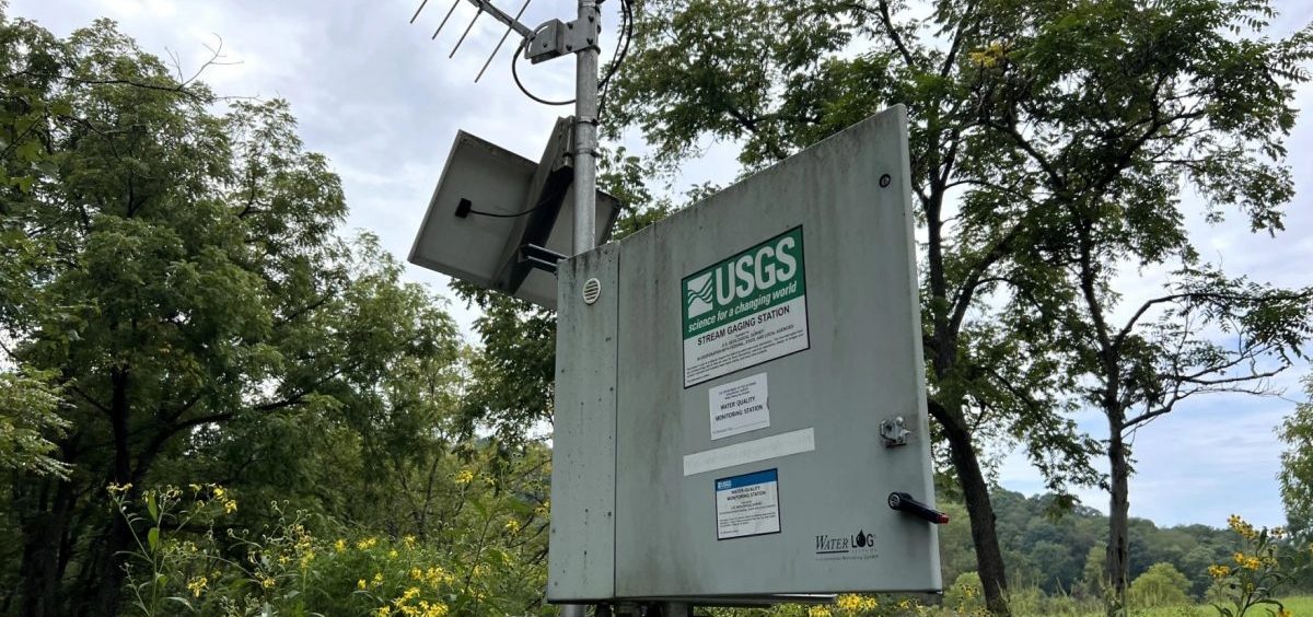
On a recent summer day, Tom Harris, the U.S. Geological Survey’s acting associate director of the Ohio-Kentucky-Indiana Water Science Center, unlocked a metal box beside the meandering stream in Harrison County. It’s filled with technical equipment.
“This is a USGS streamgage,” he said. “It’s powered by a solar panel. The bubbler on the side there — that monitors the river stage.”
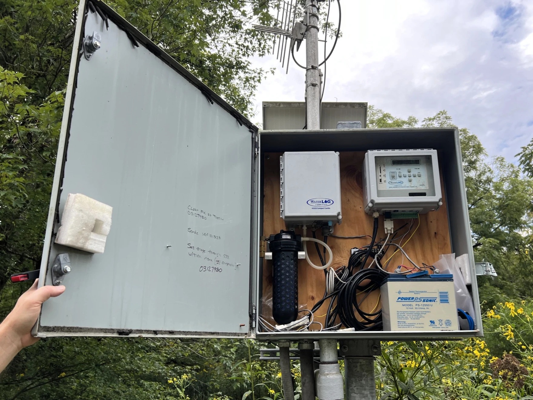
The National Weather Service can use historic data from these gages, along with rain forecasts, to better predict future floods. If water is rising rapidly, a USGS notification service can alert community leaders and residents in real time, giving them more of a heads up to prepare or evacuate.
Harris says that advance notice is precious in places like the rolling hills of Appalachia.
“A lot of times on flat land, the water will be slow to rise and slow to recede,” he said. “But if you have a river valley, the river actually will rise a lot quicker given a two- or three-inch rain.”
That can spell catastrophe for communities in deep river valleys.
“A lot of times you have very little alert of when a flood is going to happen,” Harris said.
But many communities in Appalachian Ohio don’t have the devices. Of the more than 350 USGS streamgages in Ohio, Harris says many are concentrated in cities like Cleveland and Columbus.
There are “pockets of the state where there are no USGS river gages,” he said. “And it just so happens that a lot of those pockets are in southeast Ohio.”
For example, he says there are no USGS streamgages on the Moxahala Creek, the waterway that flooded Roseville and Crooksville in Perry County last month.
‘Layers of vulnerability’
Compared to the rest of Ohio, a greater percentage of structures in the state’s southeast are at risk of flooding during major “100-year” storms.
In addition, the region is poorer than the rest of the state, so it’s harder for people there to recover from floods when they do happen.
Some at-risk communities in the region don’t have surplus funds to invest in flood preparedness.
Craig Butler is the director of the Muskingum Watershed Conservancy District, which covers an 18-county eastern Ohio area. It supports 35 river and lake gages, and many local communities finance streamgages as well. But some are struggling to bear the cost.
Butler says one community has recently considered turning a streamgage off.
“It’s about $5,000, and to me, I think that’s a very good investment,” he said. “But they are significantly strapped enough in their finances that they didn’t think they could support it.”
There is a more affordable option. Tom Harris says the USGS is rolling out a low-cost alert system that could help rural communities with limited budgets.
“We put these on very, very small streams, something that’s maybe as wide as your desk, but can flood a town,” he said.
With an annual cost of around $2,000, he says they aren’t as accurate as USGS streamgages, but they can alert a town if water is rising rapidly.
The challenge now, he says, is making people aware of the resource, and convincing them that an upfront investment is worth the possible downstream benefits.